Maps
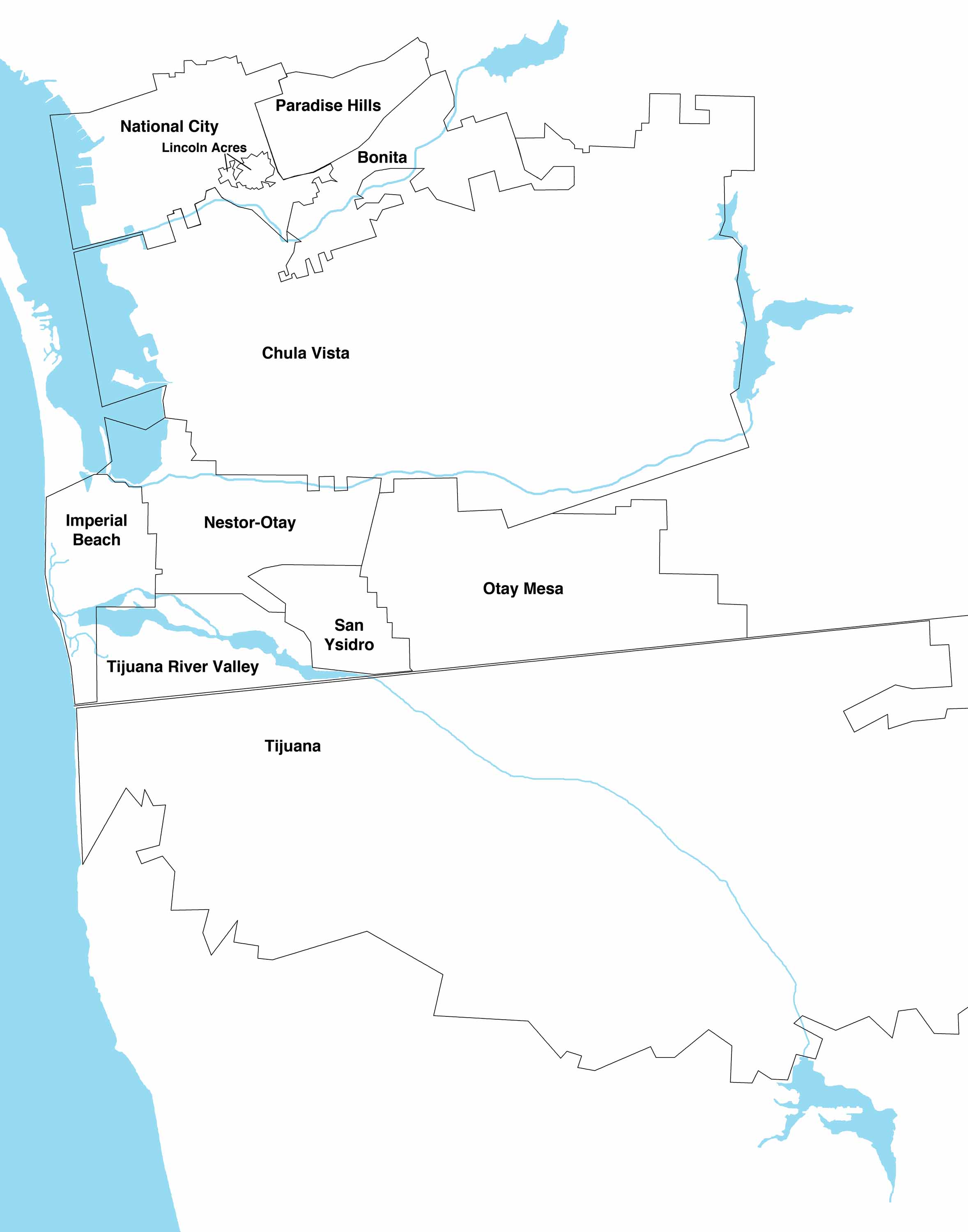
South Bay Communities
Military Bases in the South Bay
with
IDs
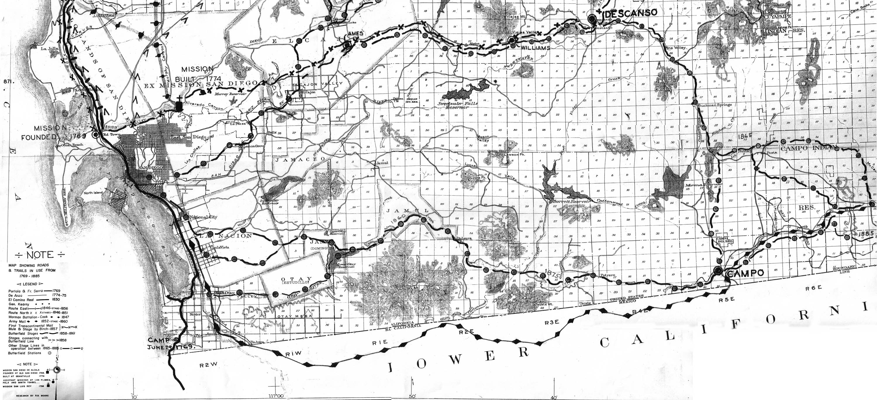
Roads and Stage Coach Routes 1769-1885
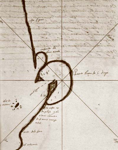
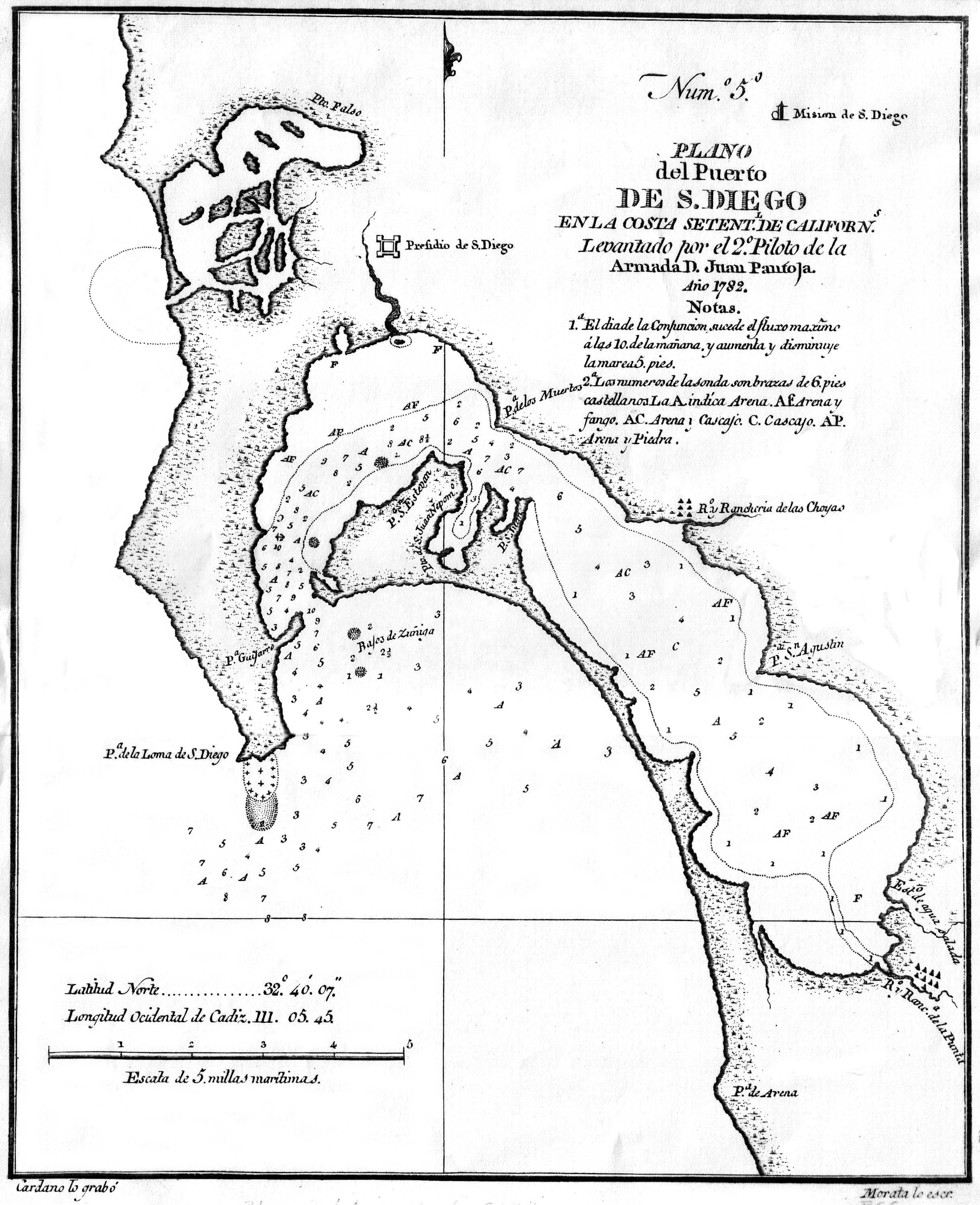
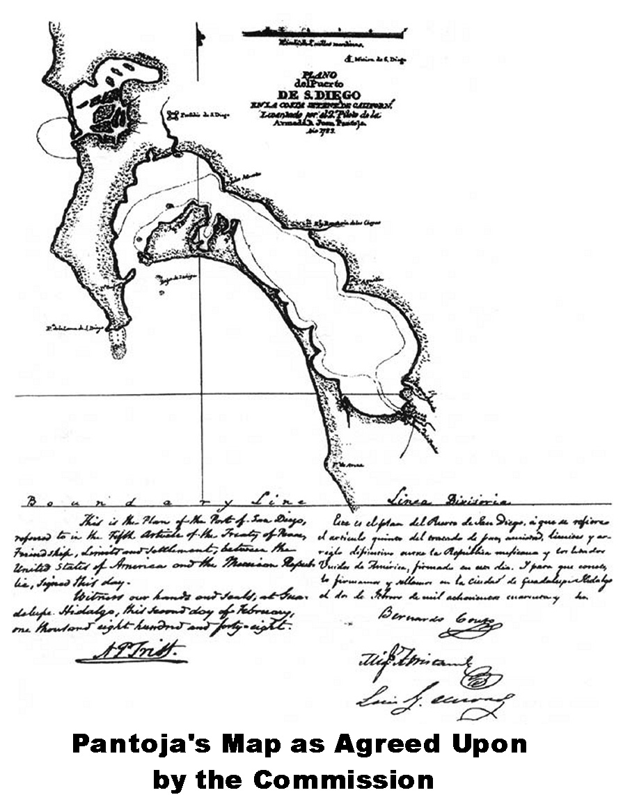
1782 by Pantoja
1848 Pantoja Map as Agreed Upon by the Commission
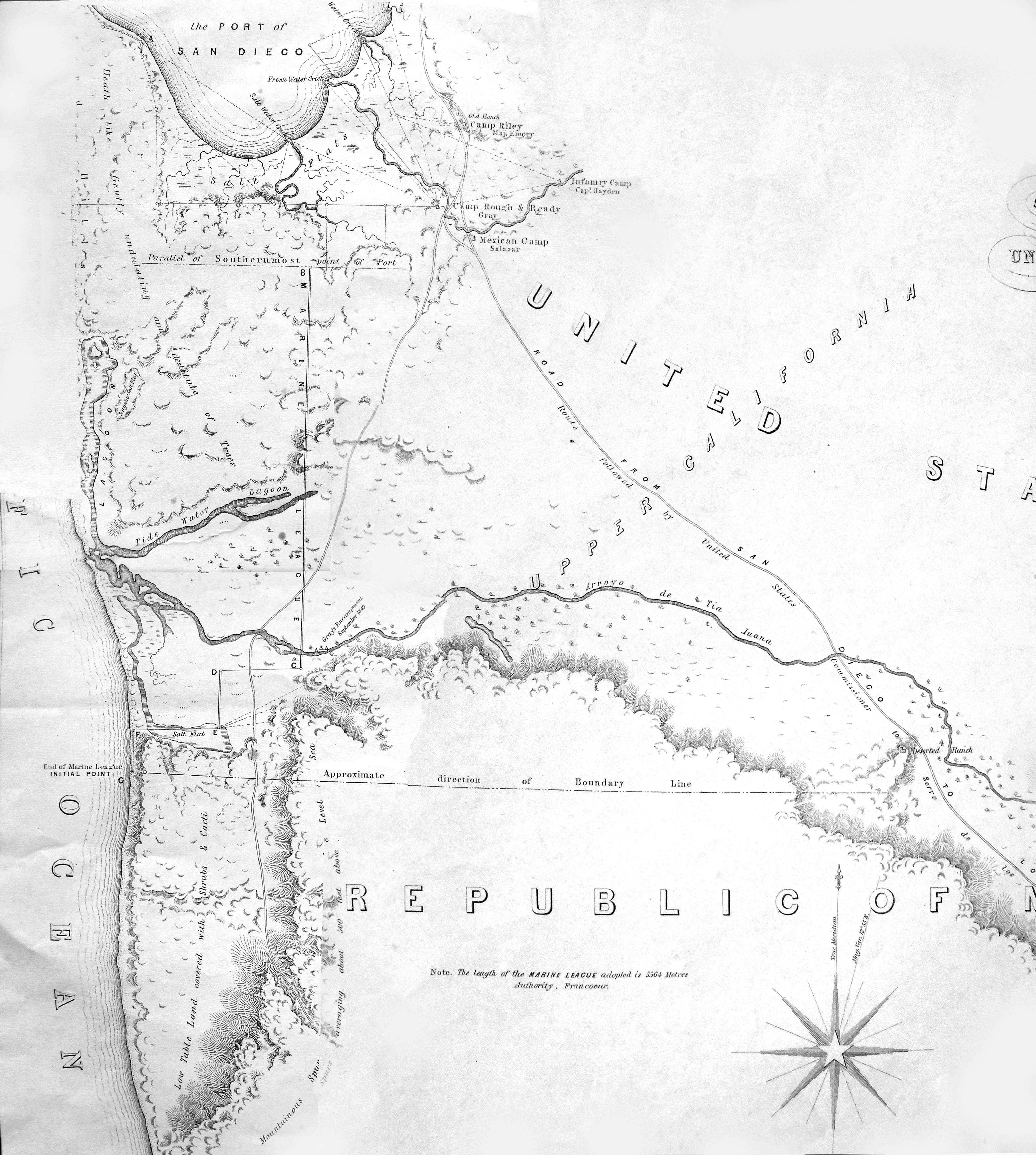
1849 Southernmost Point of the Port of San Diego by Andrew Gray
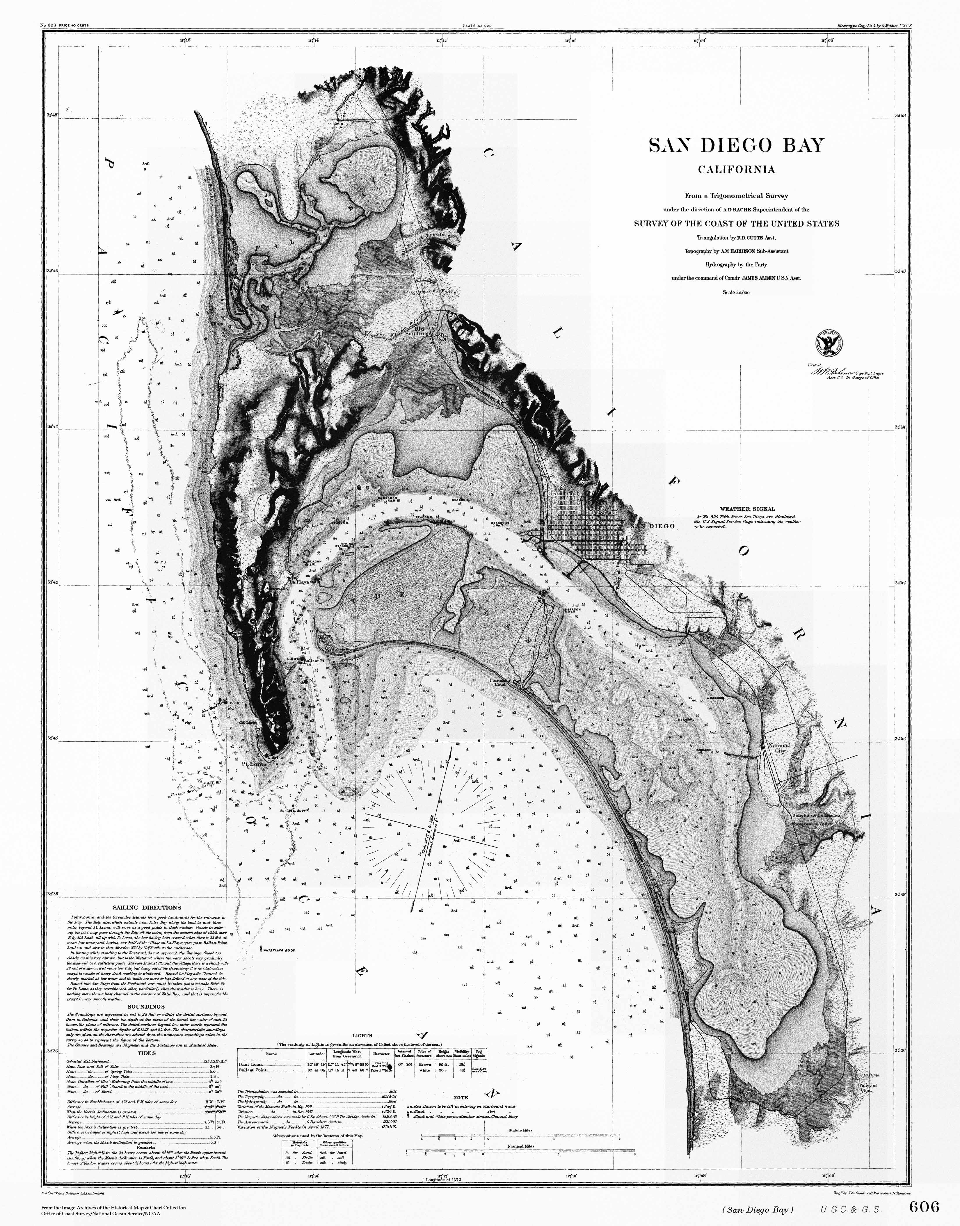
1856 bay chart
from
NOAA Historic Maps and Charts
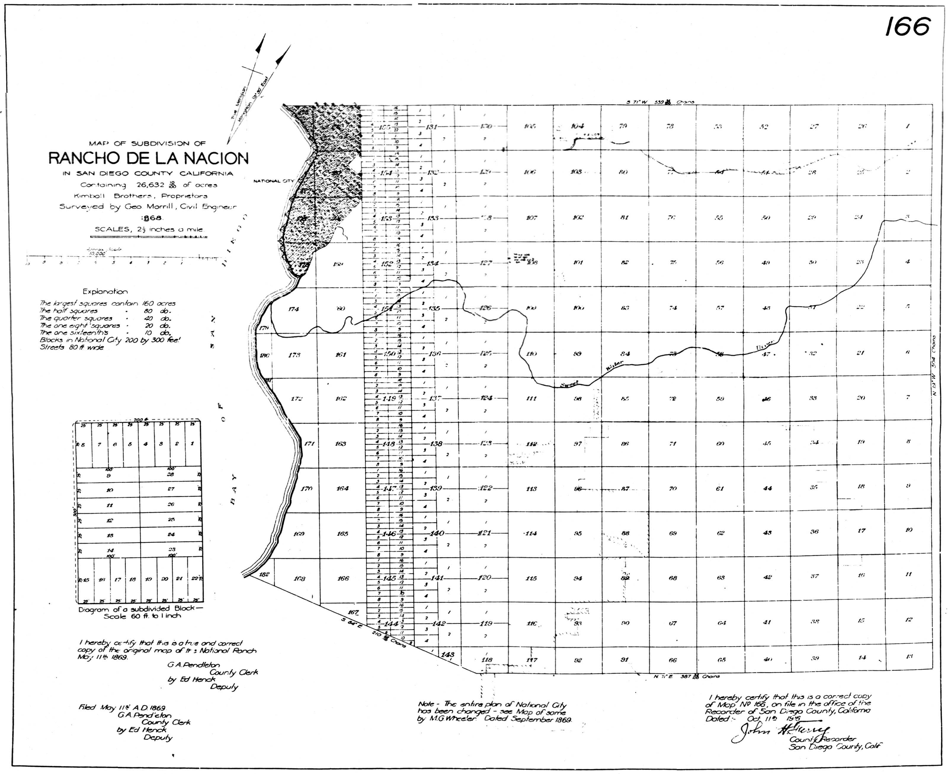
1868 Rancho de la Nacion subdivision #166
1888 Chula Vista subdivision #505
1890 by T. D. Beasley
1891 from the May issue of
The Great Southwest, a Monthly Journal of Horticulture
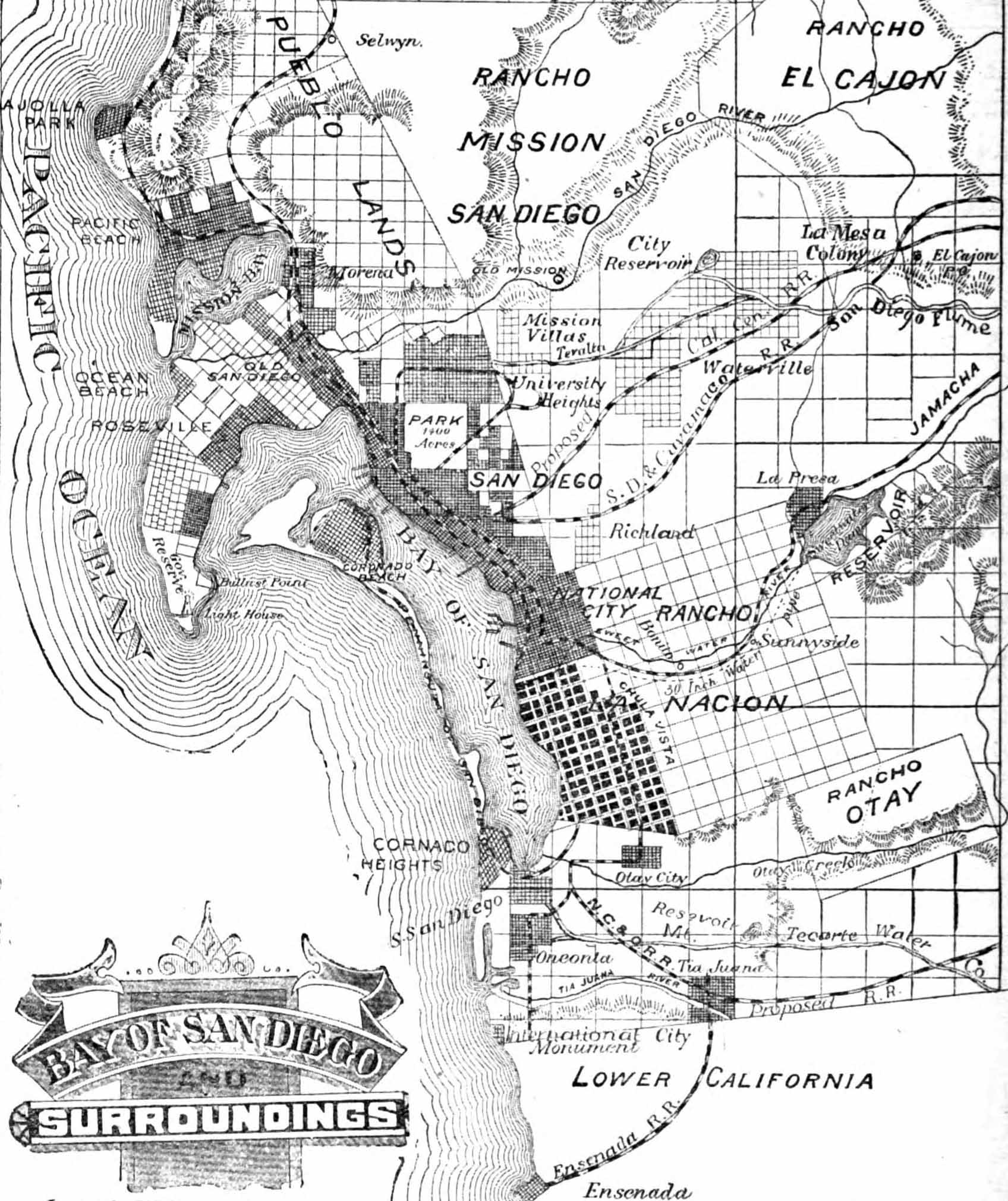
1894 by Eugene Franzden
1894 Chula Vista
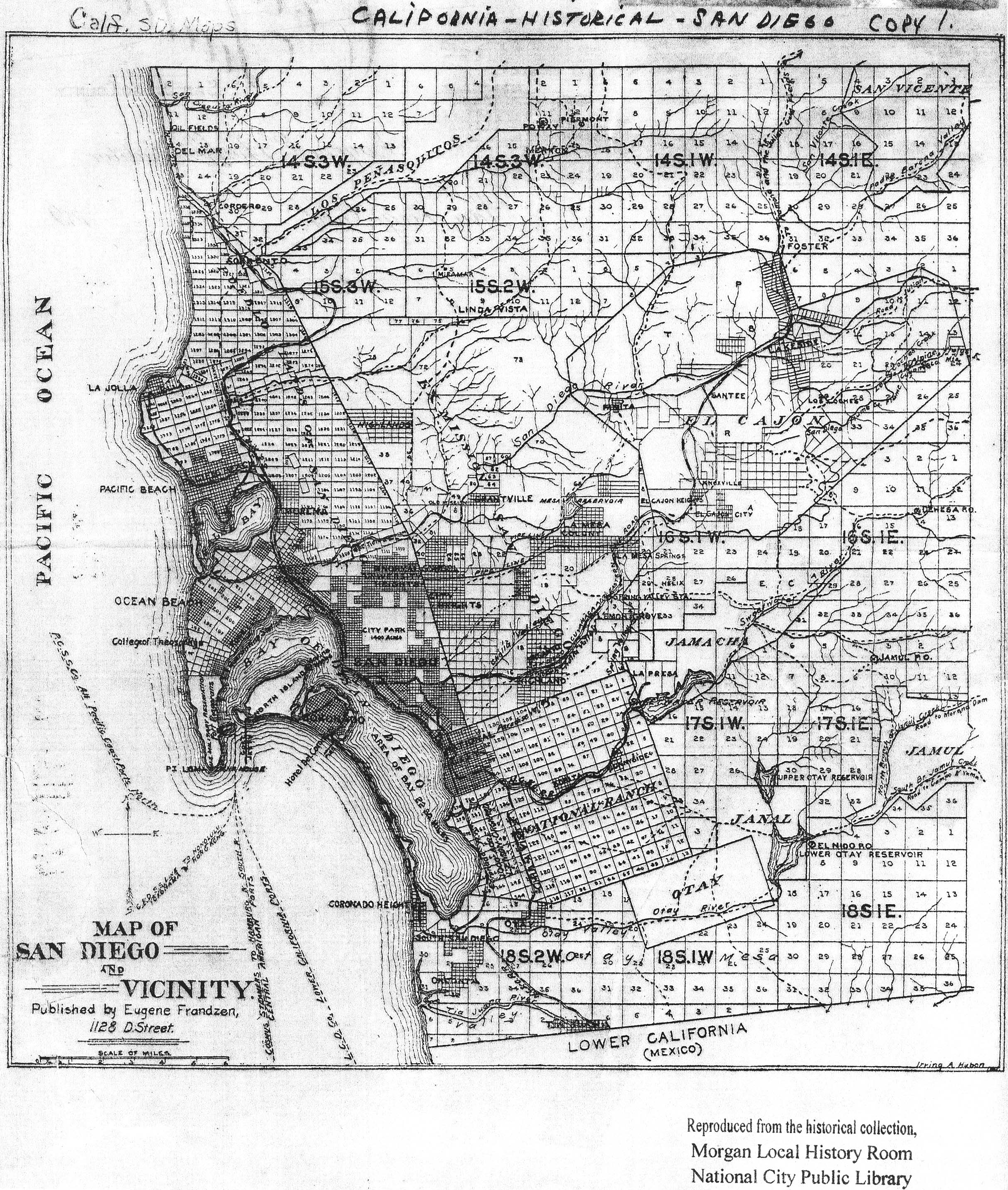
1900 by Lt. George Ruhlen, Jr.
1902 by USGS
shows Coronado Heights and Coronado Beltline Railroad.
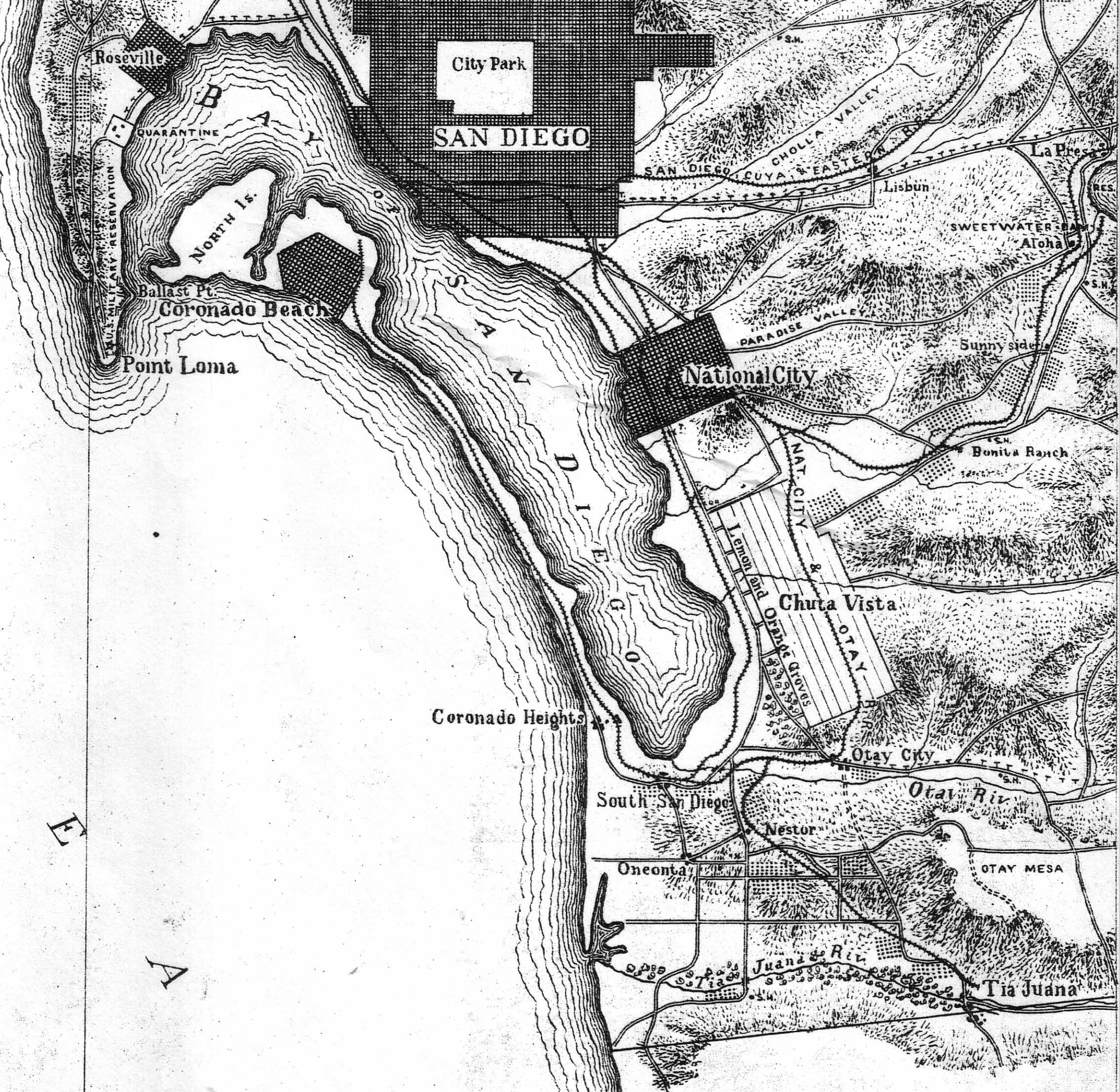
1905 National City
1918 bay chart
from
NOAA Historic Maps and Charts
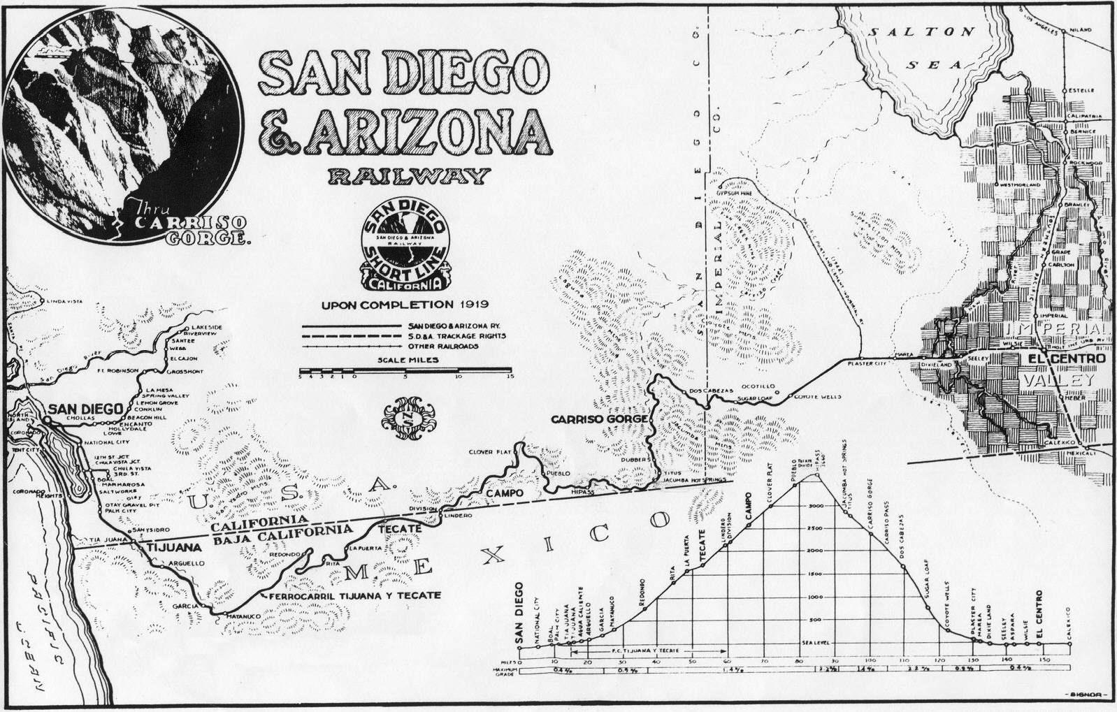
1919 San Diego & Arizona Railway
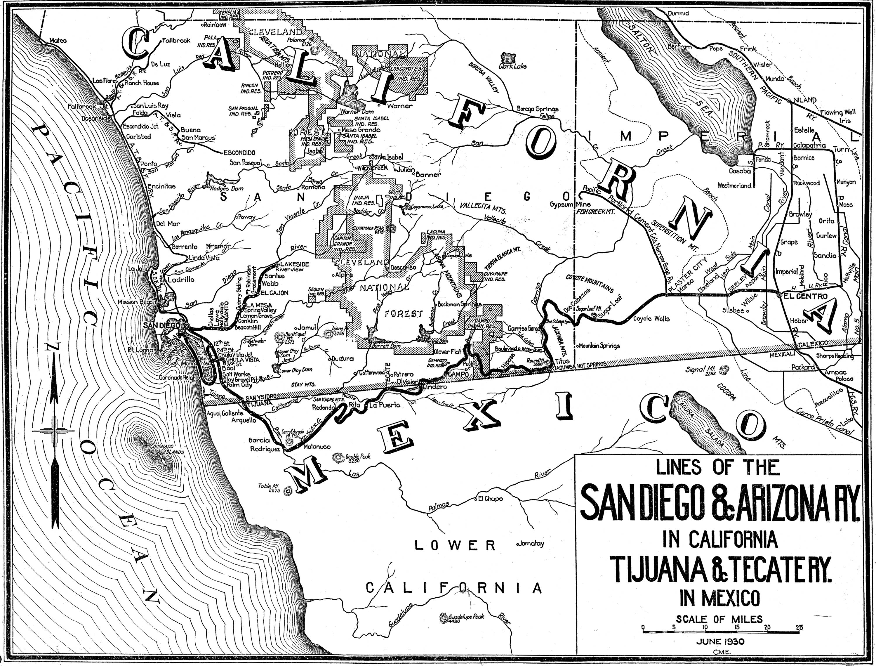
1930 San Diego & Arizona Railway
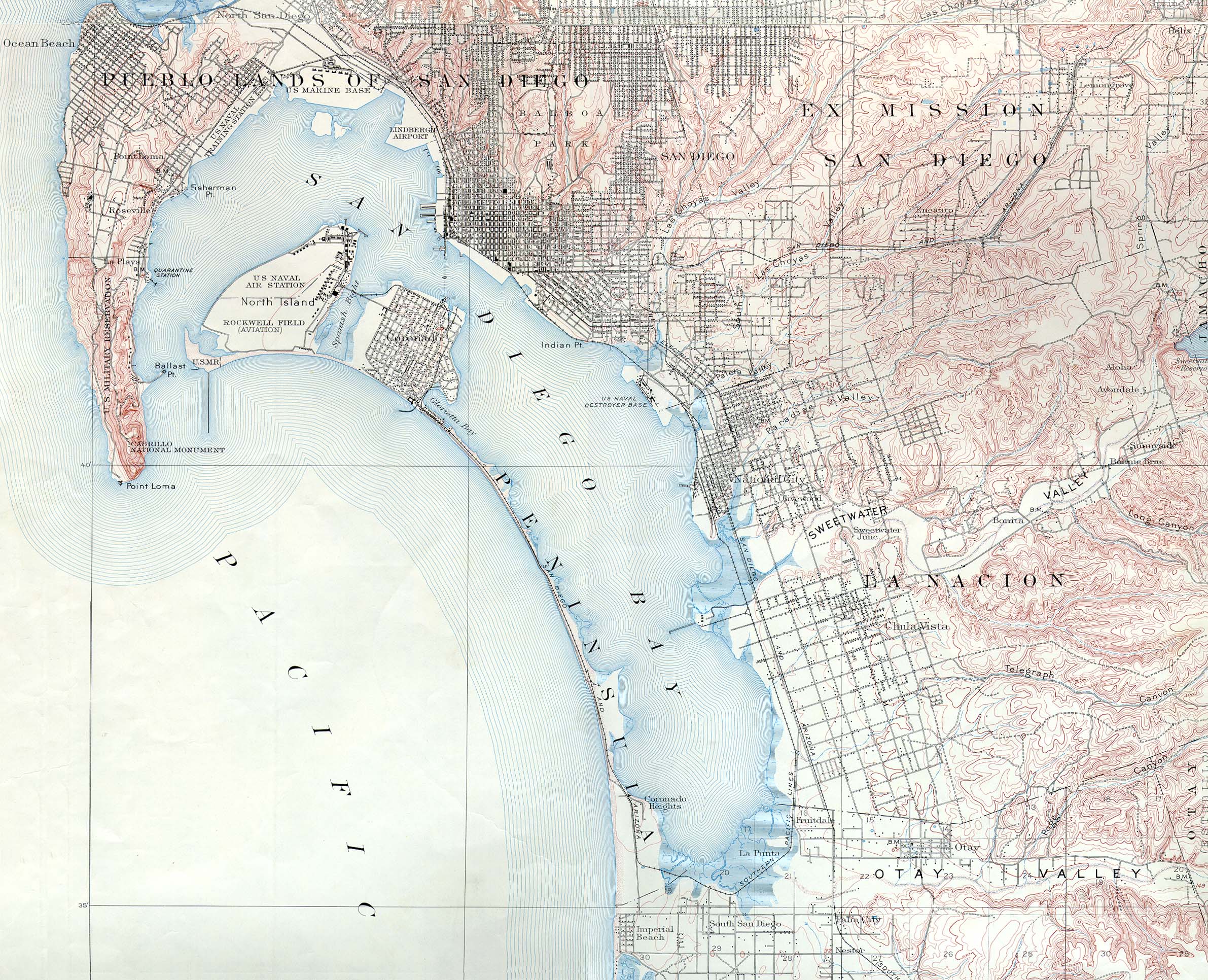
1930 by USGS
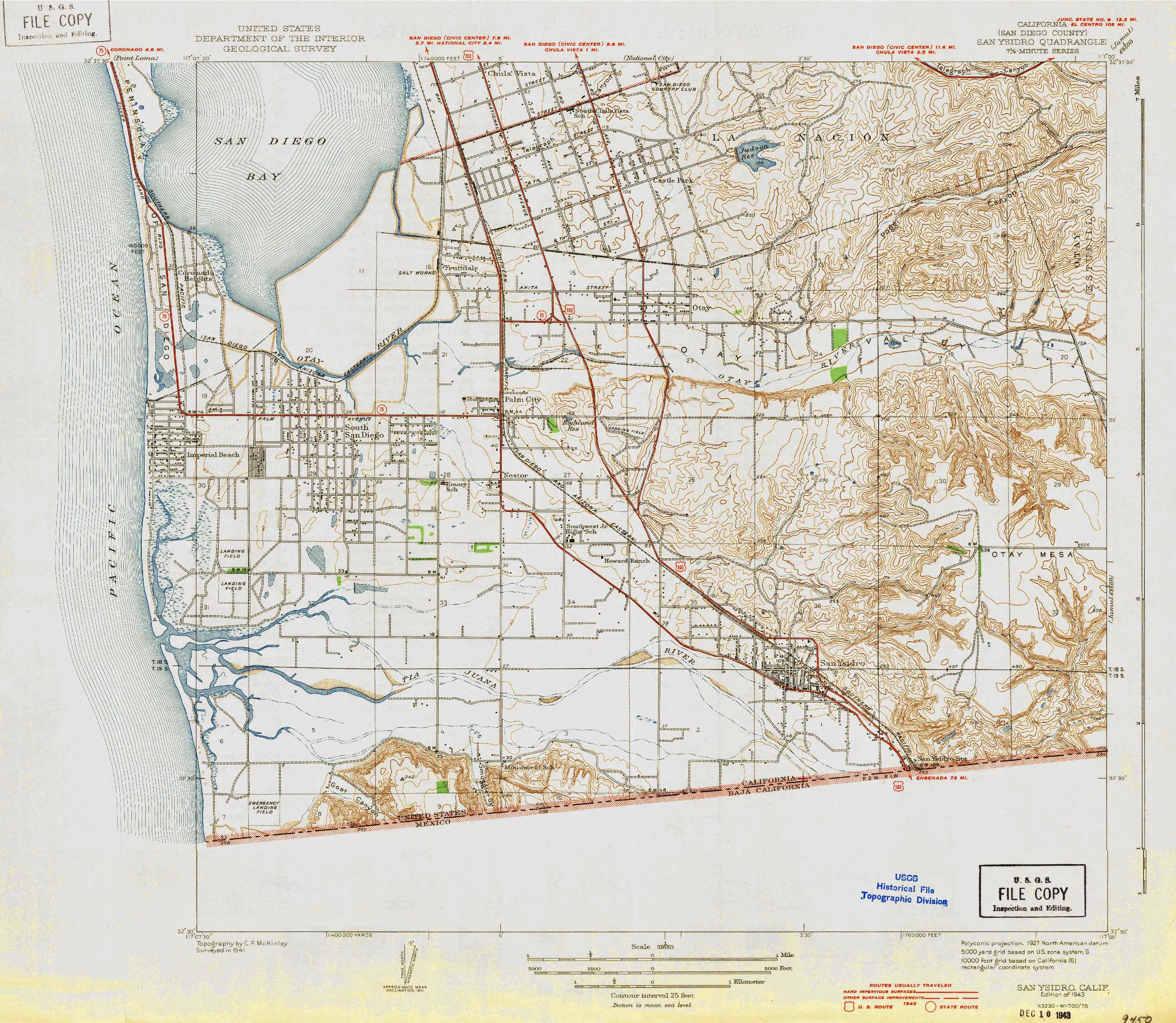
1943 by USGS
shows Howard Ranch and Salt Works
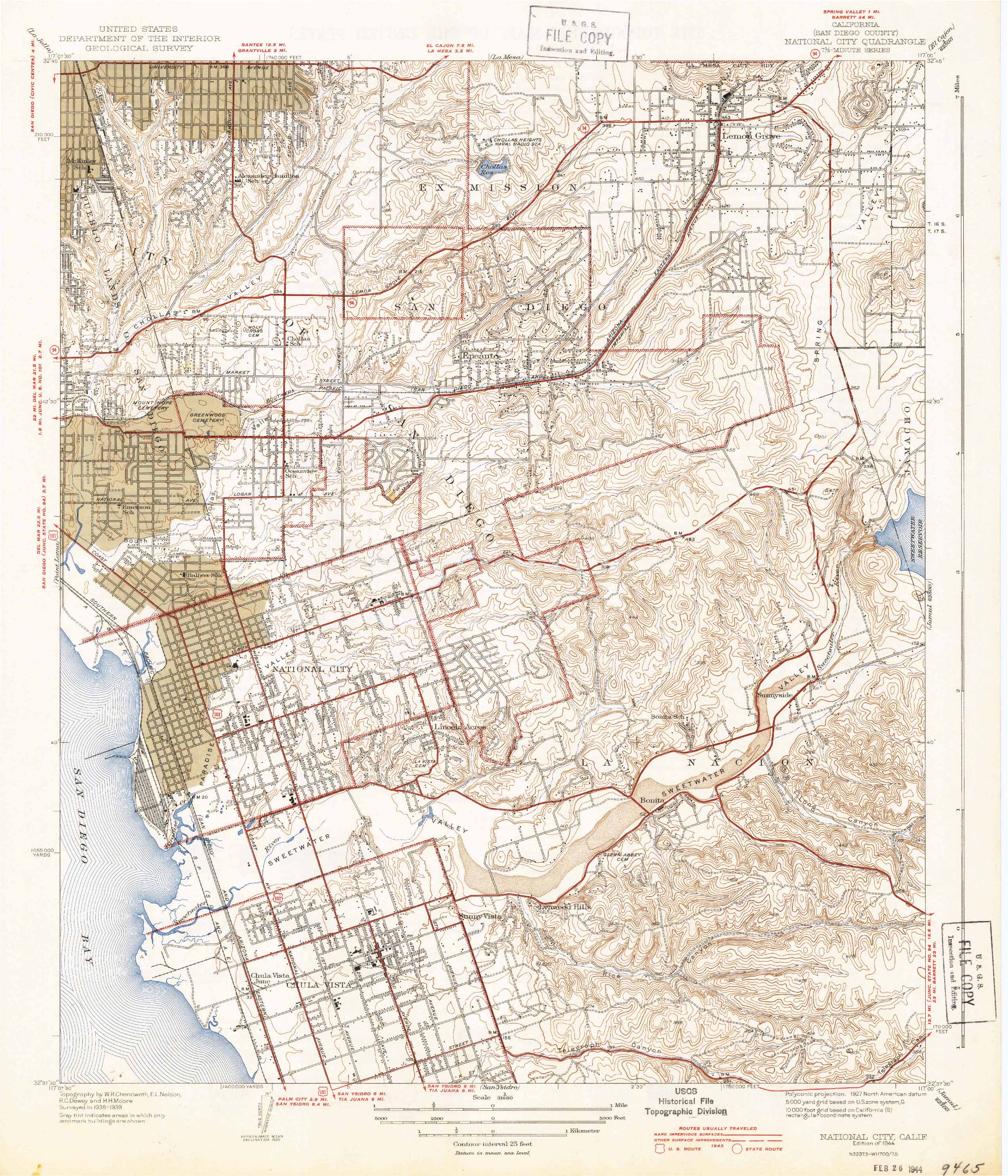
1944 by USGS
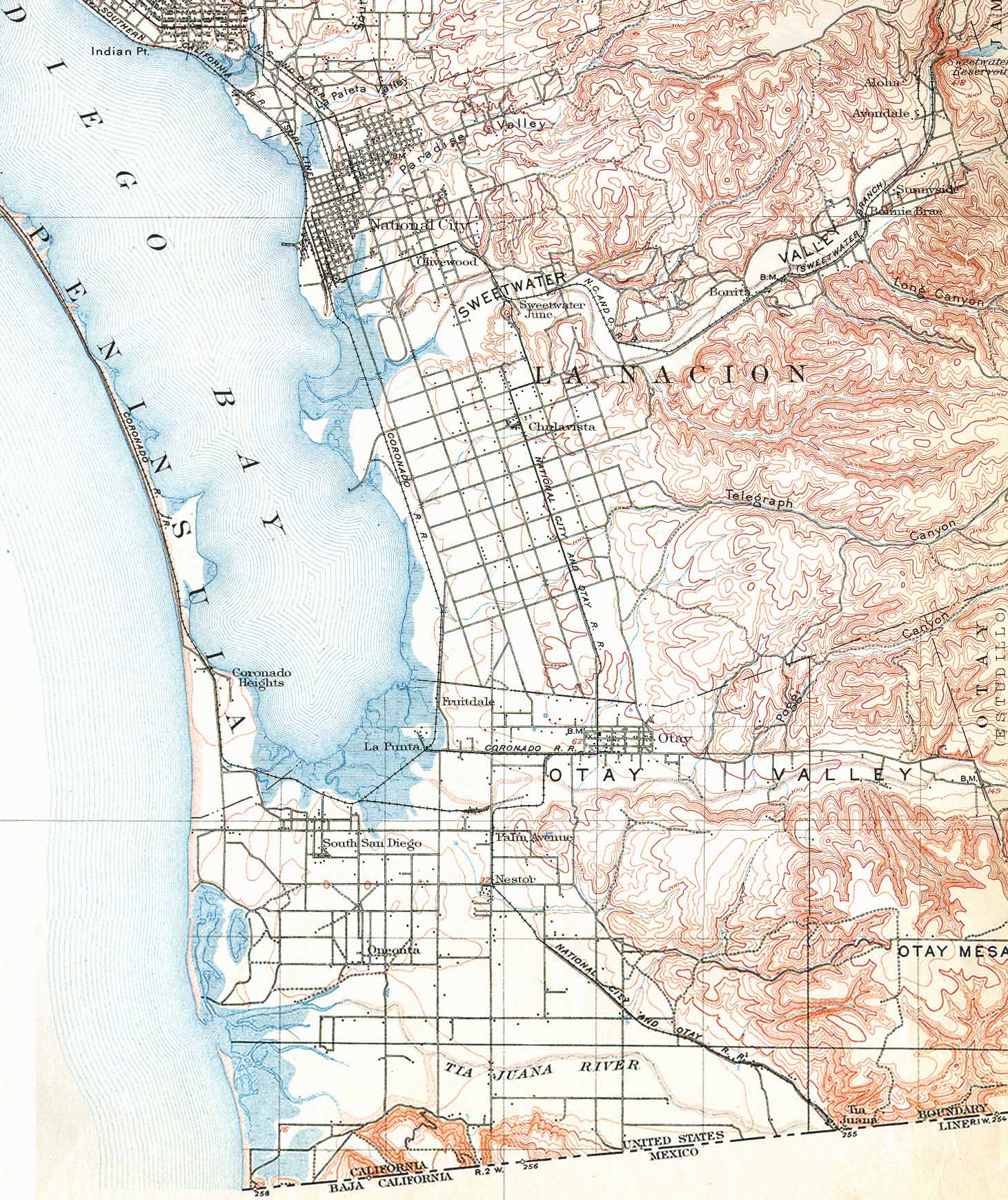
shows National City and Chula Vista
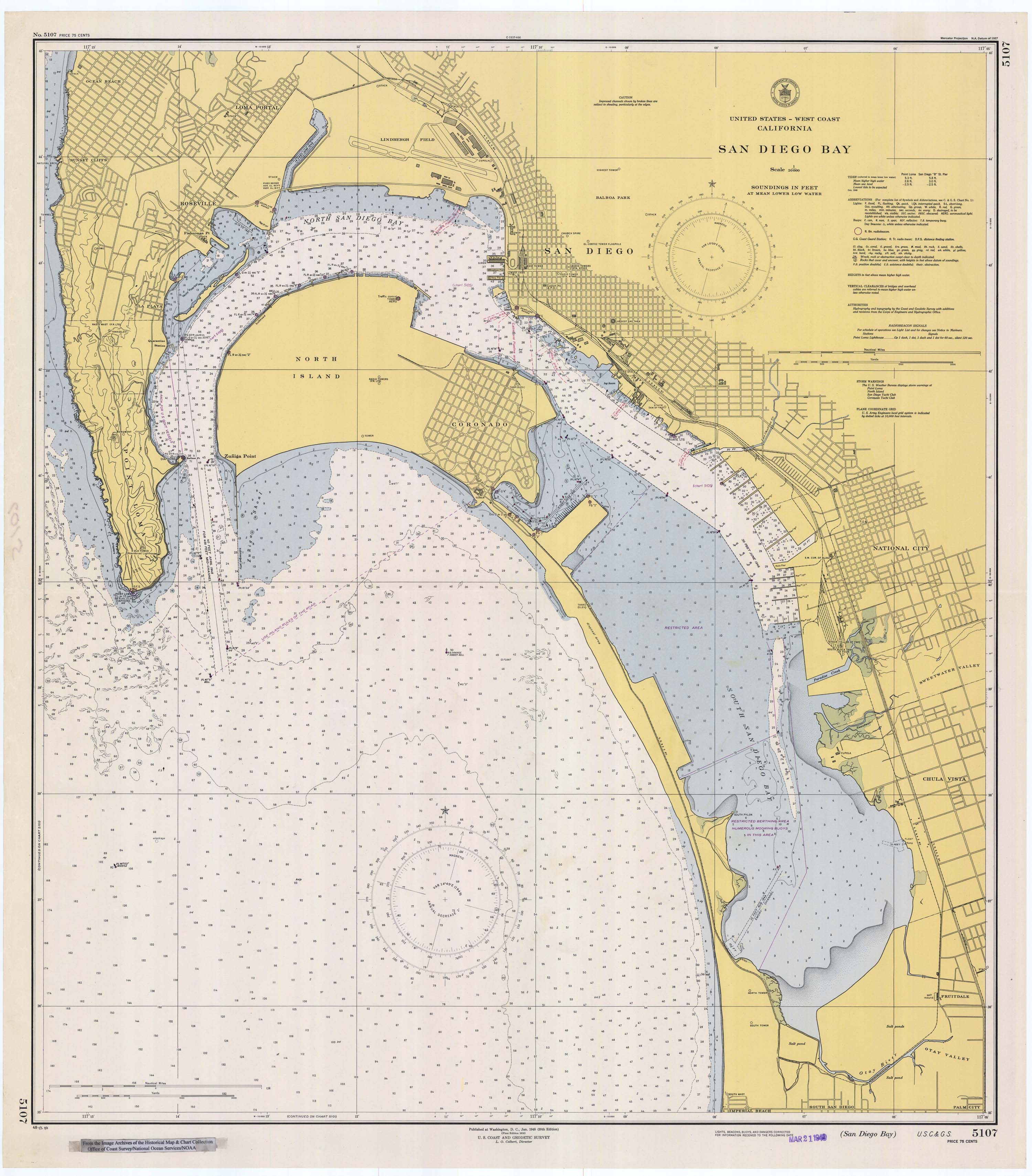
1948 bay chart
from
NOAA Historic Maps and Charts
1953 by USGS
shows Judson Reservoir
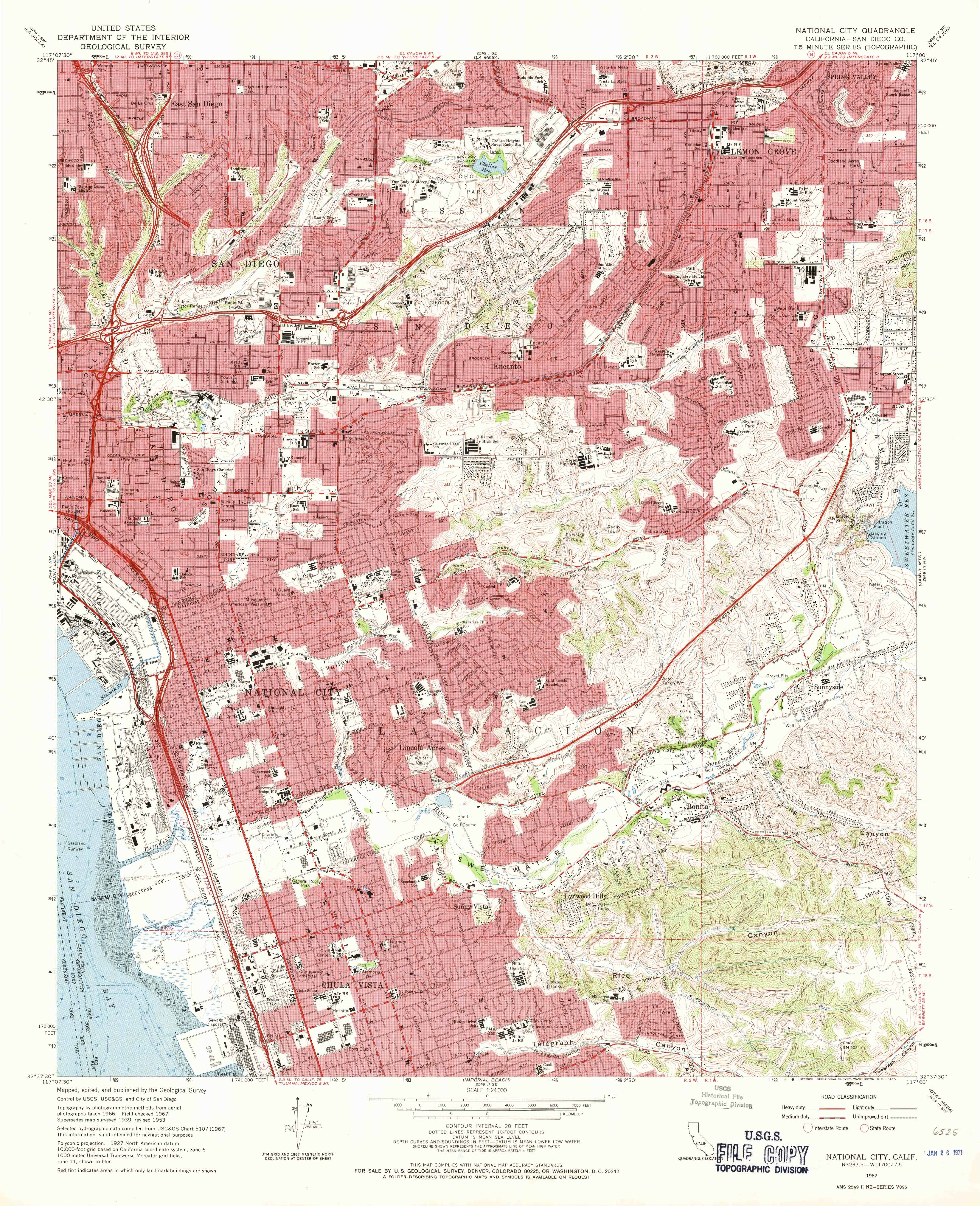
1967 by USGS
shows National City and Chula Vista
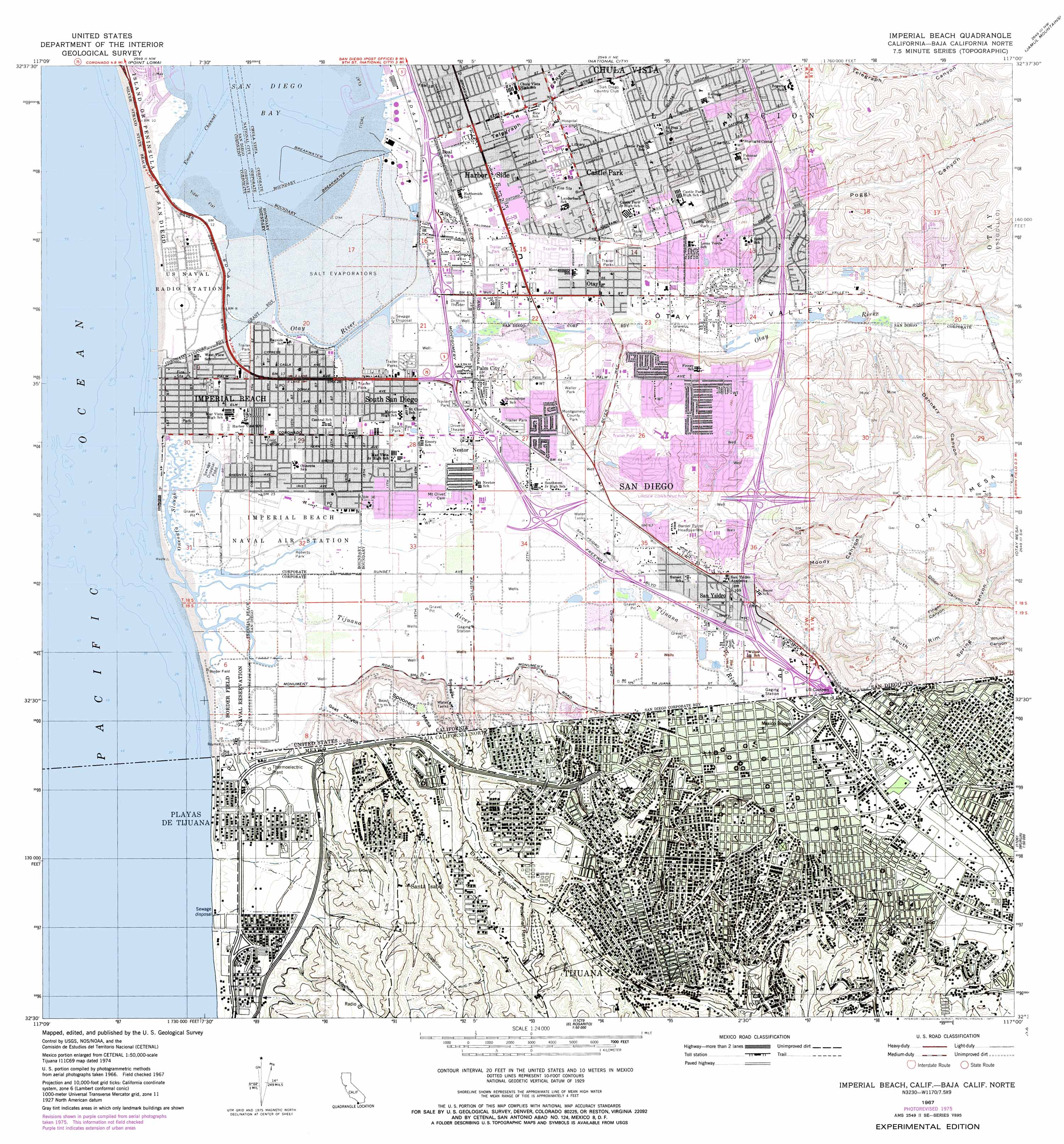
1976 by USGS
shows Tijuana
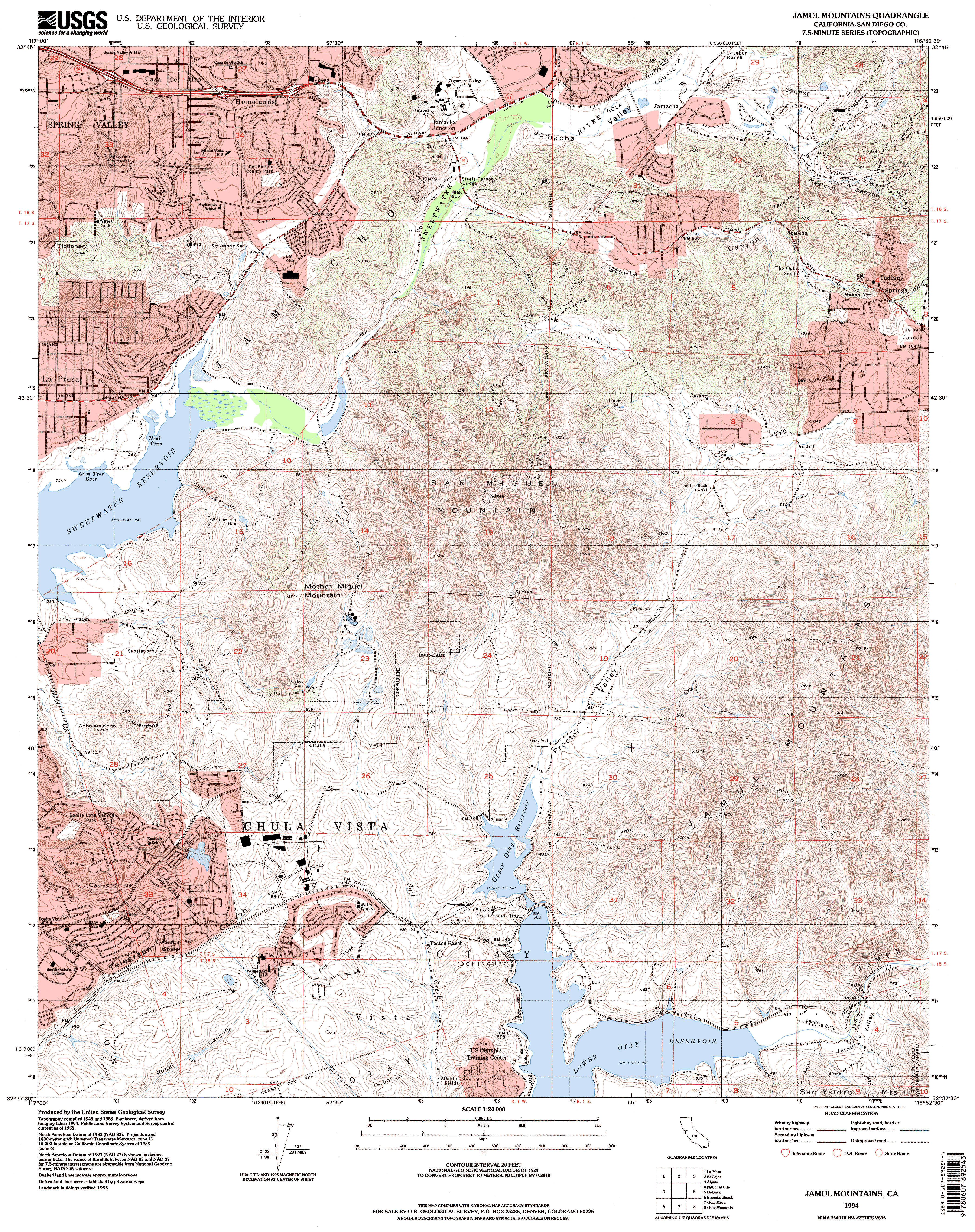
1994 Jamul Mountain by USGS
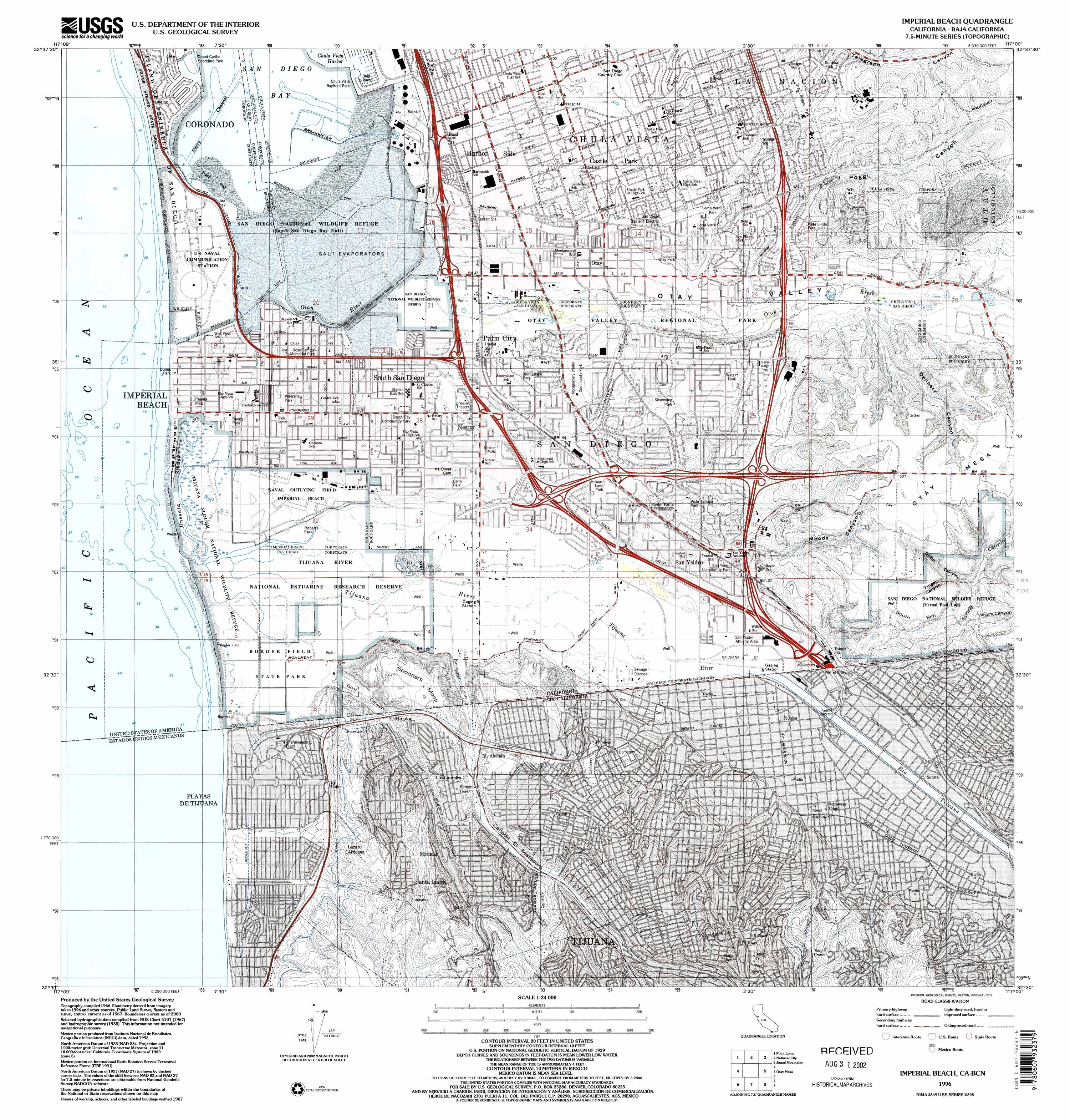
1996 by USGS
The first map of San Diego bay was drawn by Vizcaino in 1603.
See
Maps of San Diego
This page updated March 7, 2024, by
Steve Schoenherr
for the
South Bay Historical Society