 |
 |
 |
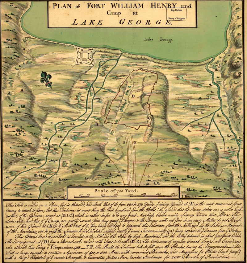
 Map of Fort William Henry from Francis Parkman, Montcalm and Wolfe
|
|
|
|
|
Map of Fort William Henry from Francis Parkman, Montcalm and Wolfe
|
 portrait of Montcalm from Francis Parkman, Montcalm and Wolfe
|
 Portrait of Loudon from Francis Parkman, Montcalm and Wolfe
|
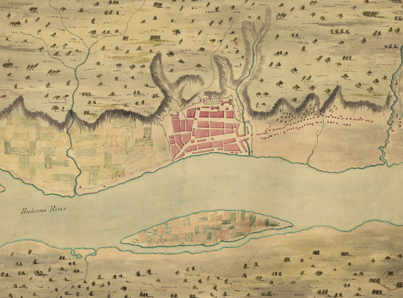
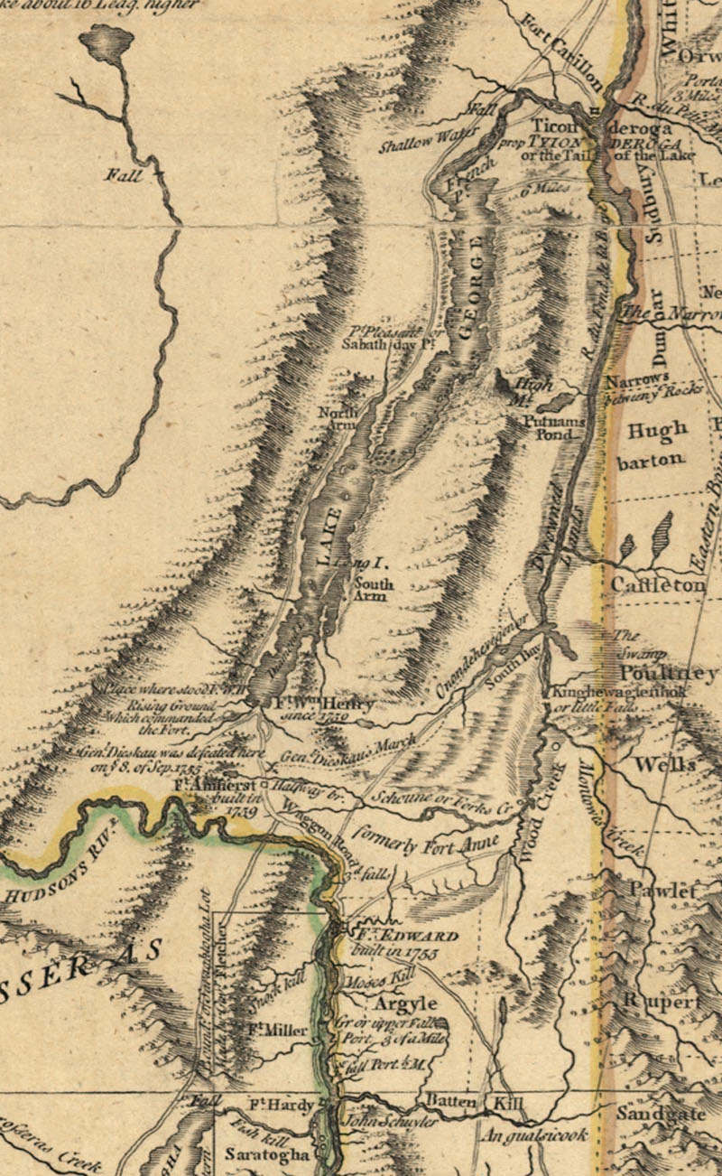
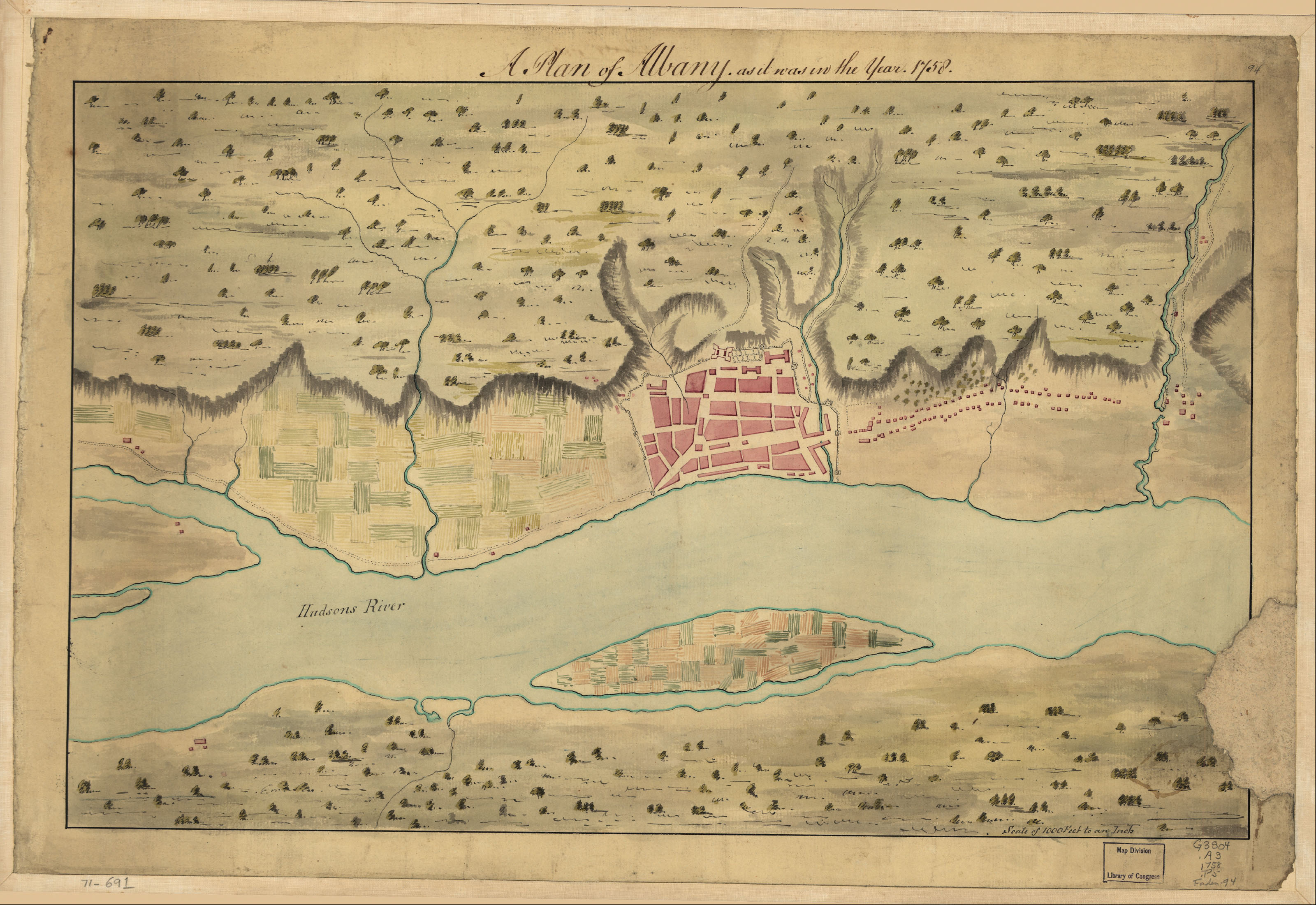
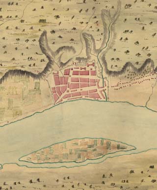
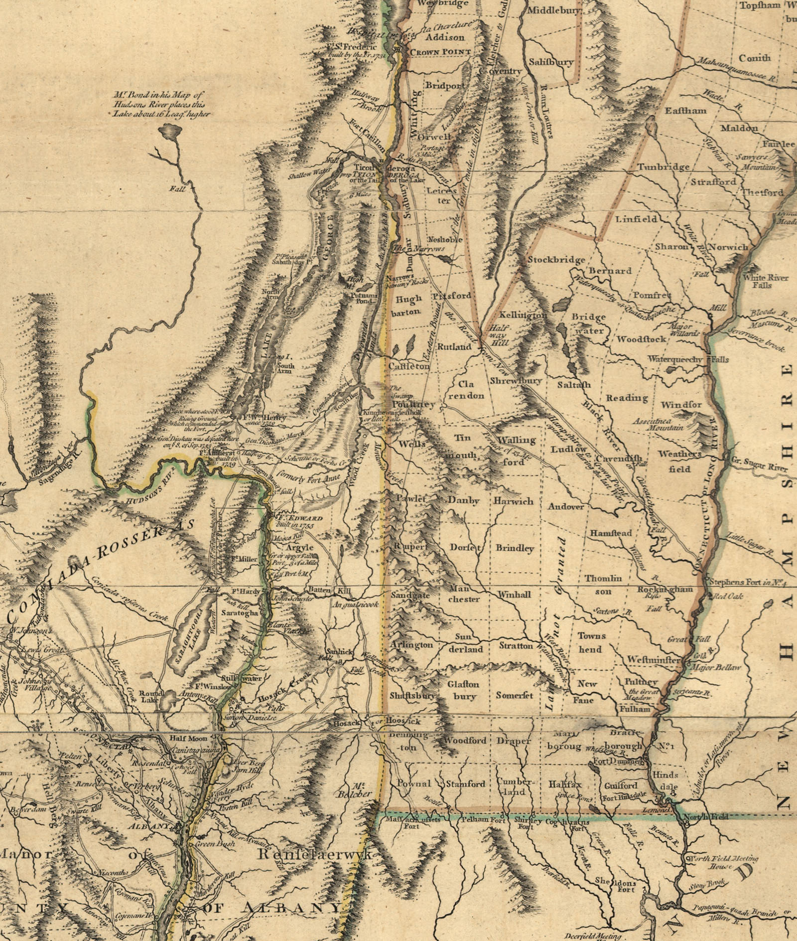
 New York topographical map and forts
|
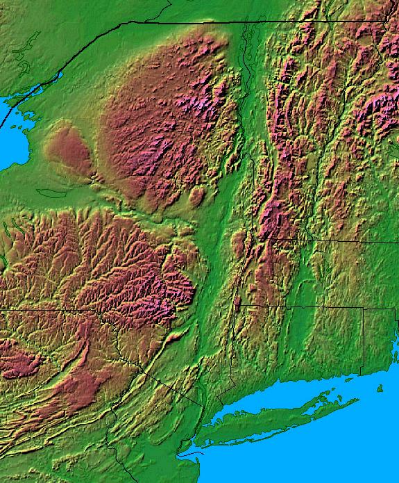
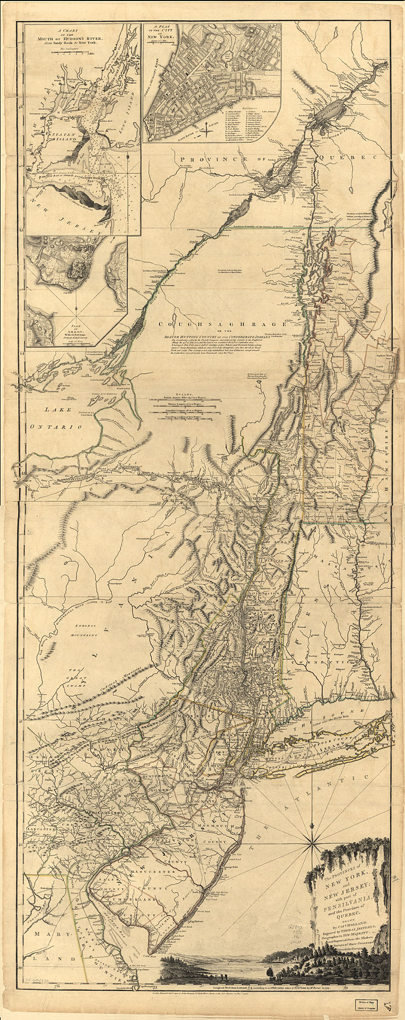
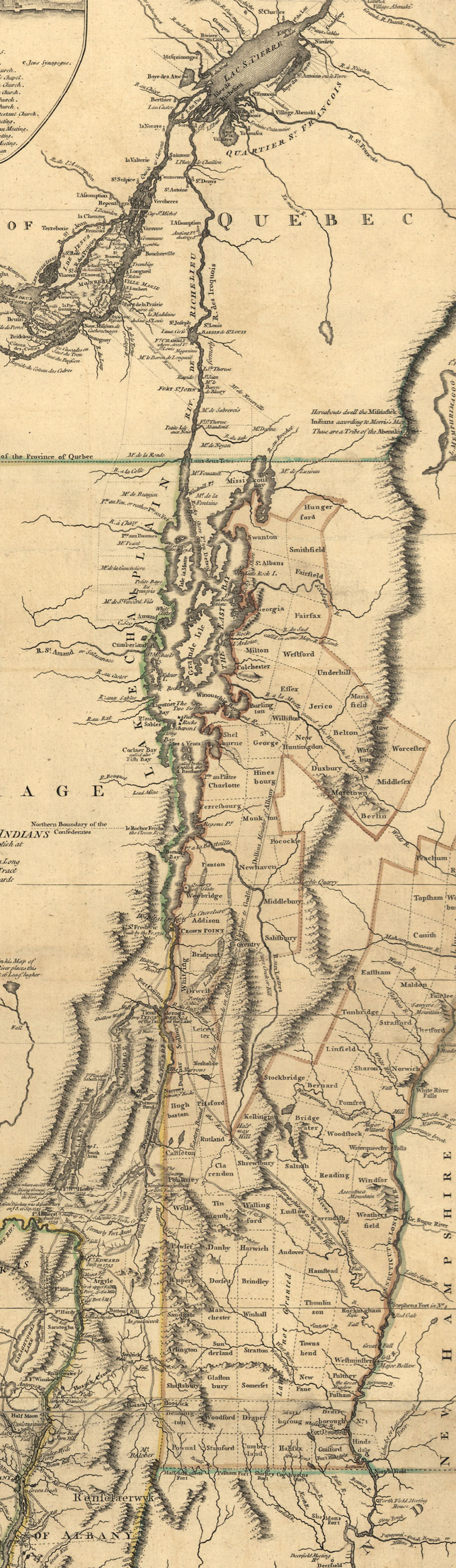
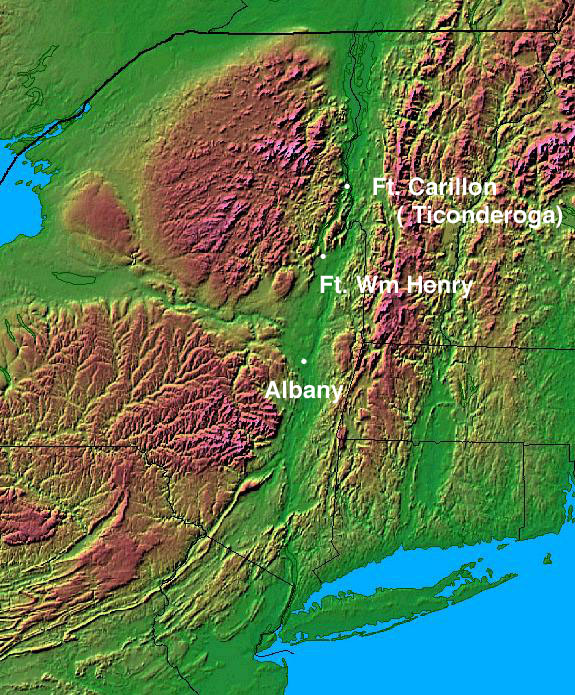
 Eastern U. S. topographical map
|